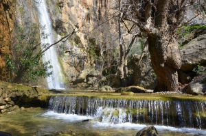
The Gorge of Mylonas or Agios Ioannis is located 18km east of Ierapetra. It starts near the village Agios Ioannis, at an altitude of 500m, and ends at the beach of Kakia Skala.
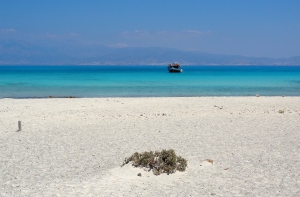
The thousands of visitors arriving daily by boat from Ierapetra to Chrissi island mainly swim on the beach of Belegrina or Golden Beach. Bright blue waters, white sand with pink shades from the thousands of broken shells, and the junipers that hold the sand with their huge roots are the backdrop that makes anyone fall in love with this place.
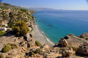
Agia Fotia, one of the favorite beaches of all Cretans, is located 45km southeast of Agios Nikolaos and 12km east of Ierapetra. It is a small bay formed at the mouth of a small stream that descends from the surrounding mountains. The settlement takes its name after the local Church of Agia Fotini (or Agia Fotia). The area is hidden in plane trees and tamarisks, while the bay is surrounded by high mountains and cliffs that create a magic scenery.
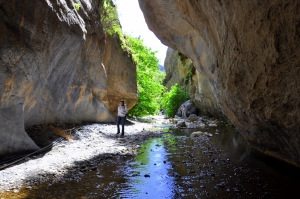
16km west of the Ierapetra is the traditional village of Mythi. At a short distance from the village, the small Sarakina Gorge starts, which ends near the Mirtos. The length of the canyon reaches 1.5km and its width ranges from 3 to 10 meters, with only a few points exceeding that.
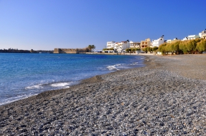
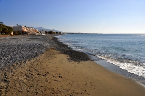
Ierapetra is located 35km southeast of Agios Nikolaos and is the southernmost city of Greece. It is built in one of the warmest areas of Crete, which makes it very popular for holidays, even until the end of autumn. The wider area of Ierapetra is famous for its beaches, stretching along a vast beachfront. Almost all of them are covered by the characteristic fine black pebbles, which do not stick in the leg, and the sea is usually flat.
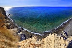
The east end of the long Ierapetra beach is called Livadia, and beyond this, is called Peristeras. This is a secluded area with high cliffs surrounding it. The beach is sandy and has several smooth rocks in places. You can reach the easternmost part of Saint Andrew by walking from the road. However, there is a second sandy beach in Peristeras, just behind the rocky end of the long beach, that can be accessed by the road. This is very well protected by prying eyes, but there are many rocks.
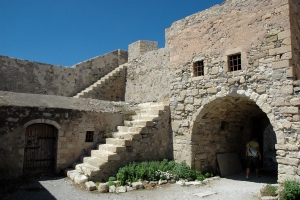
The fort Kales was built by the Venetians in the 13th century AD, to protect the town of Ierapetra from its enemies. In 1508 it was destroyed by an earthquake and the Turkish raids. The damage was not repaired, perhaps because it was very serious and there was no funding.
Gra Ligia is a seaside village located just 5km west of Ierapetra and 39km south of Agios Nikolaos. It is situated at the exit of a large fertile valley, which is full with greenhouses with early vegetables. Locals were the first to grow vegetables in greenhouses and this was later extended throughout the area of Ierapetra. There are so many greenhouses, that locals call Gra Ligia as “Silicon Valley of Greece”.


