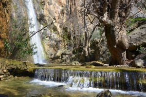
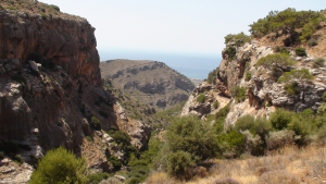
The Gorge of Mylonas or Agios Ioannis is located 18km east of Ierapetra. It starts near the village Agios Ioannis, at an altitude of 500m, and ends at the beach of Kakia Skala.
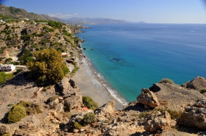
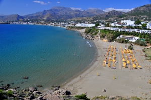
Agia Fotia, one of the favorite beaches of all Cretans, is located 45km southeast of Agios Nikolaos and 12km east of Ierapetra. It is a small bay formed at the mouth of a small stream that descends from the surrounding mountains. The settlement takes its name after the local Church of Agia Fotini (or Agia Fotia). The area is hidden in plane trees and tamarisks, while the bay is surrounded by high mountains and cliffs that create a magic scenery.
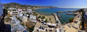
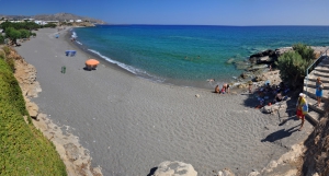
Makrigialos is located 58km southeast of Agios Nikolaos and 23km east of Ierapetra. It is a large village, located near the exit of the lush canyon of Pefki. Being initially a humble harbor with no roads in the ‘50s, Makrigialos has faced strong growth and has become the largest tourist destination in the region. It actually consists of two settlements, Makrigialos and Analipsi, which are now united.
The Gorge of Pefki (Pefki means Pines) is one of the most beautiful small gorges of Crete, with amazing rock formations shaped by the natural forces and with lush vegetation. The length of the gorge is 4.5 km and the elevation difference of the entering point and the exit reaches 300 meters.The gorge starts south of the village Pefki and ends in Aspros Potamos dorp, 2km north of Makrigialos.
Lagoufa is located right after the east end of Makrigialos main beach, around 59km southeast of Agios Nikolaos and 24km east of Ierapetra. It consists of two adjacent protected coves, which are formed near the big hotels of Makrigialos.
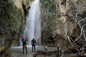
Nearby the lush green and full of water springs Orino village we meet one of the most steep rivers of Crete. Its springs are located high on the plateau Abelia on the slopes of Thripti and Papouri mounts. They shortly form a river which crosses the village square and enters the rugged canyon of Orino.
Kalamokanias is located 57km southeast of Agios Nikolaos and 22km east of Ierapetra, on the west side of Makrigialos settlement. It is located on the west side of the hill that rises behind the harbor area. It takes its name after the migratory bird stilt (Himantopus himantopus) that has red legs and body reminding of a miniature stork and stops in the local streams.
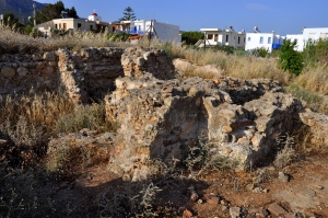
The fertile valley and the sheltered harbor of Makrigialos was an ideal location for its habitation throughout the ages. One of the relics of the past is the Roman villa which was unearthed at Katovigli position in 1977, above the current port of Makrigialos, by the archaeologist N. Papadakis. Earlier, looted graves and a headstone of the 4th century AD were found on site.
- 1
- 2


