Asterousia Mountains are the southernmost range in Greece, located on the south side of Heraklion Prefecture. It is a narrow range, shaped between Messara plain and the South Cretan Sea. Starting on the east from Anapodaris river, it ends in the tip of Messara, Lithino Cape.
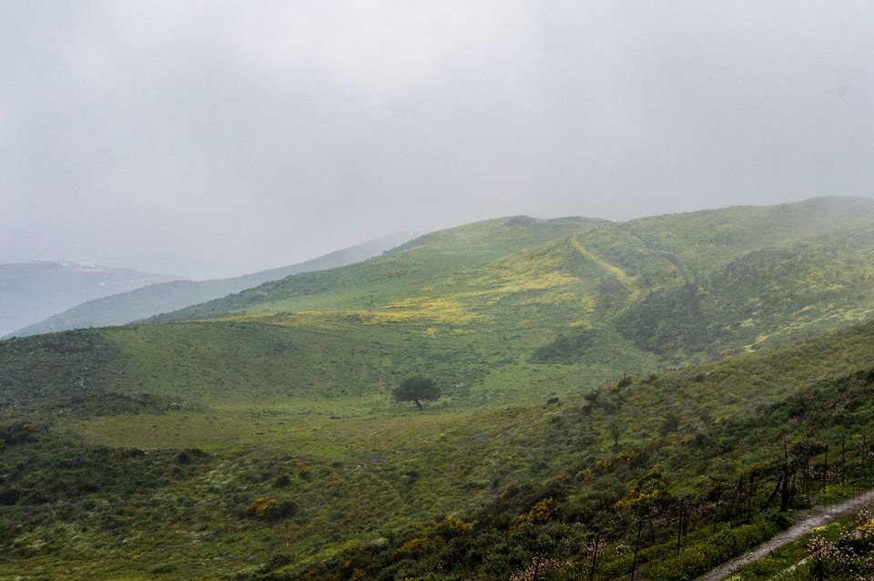
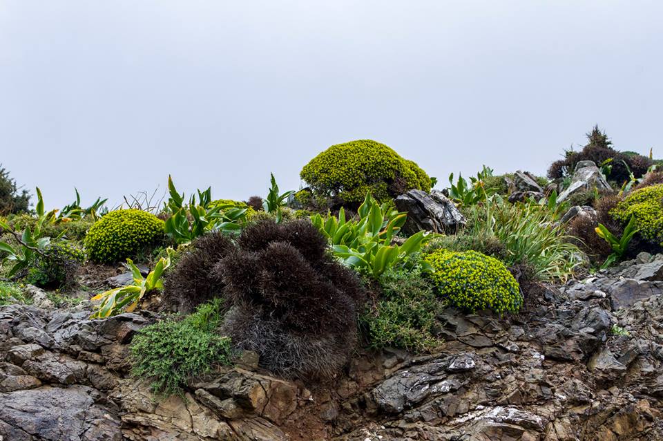
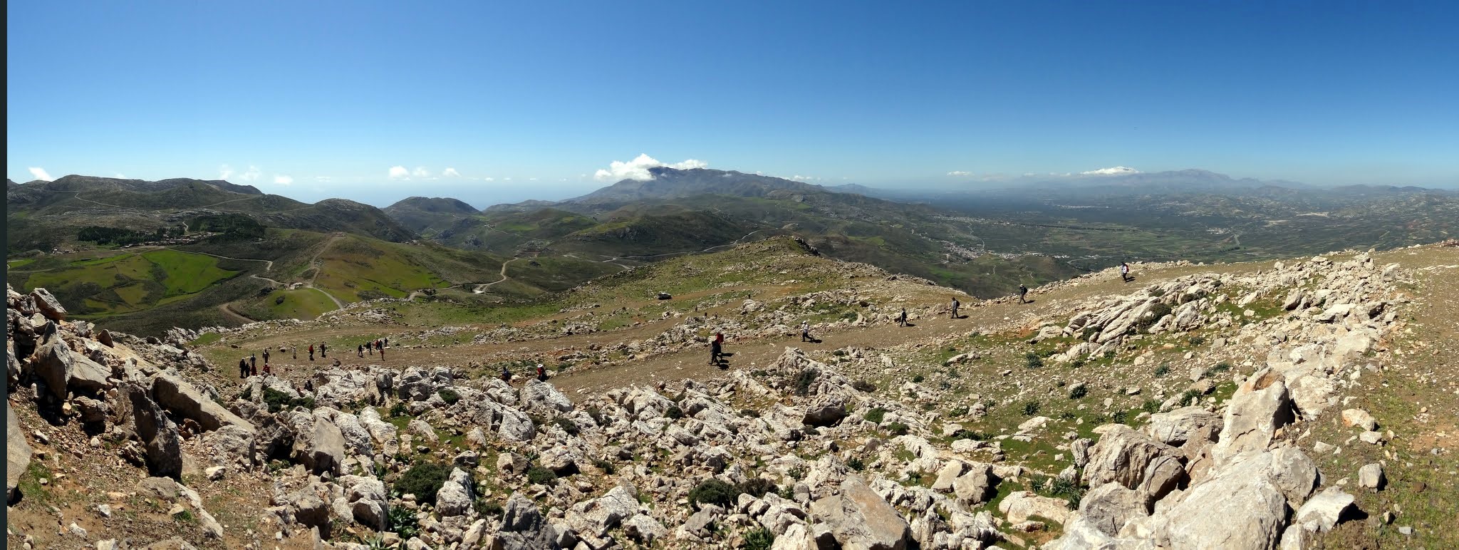
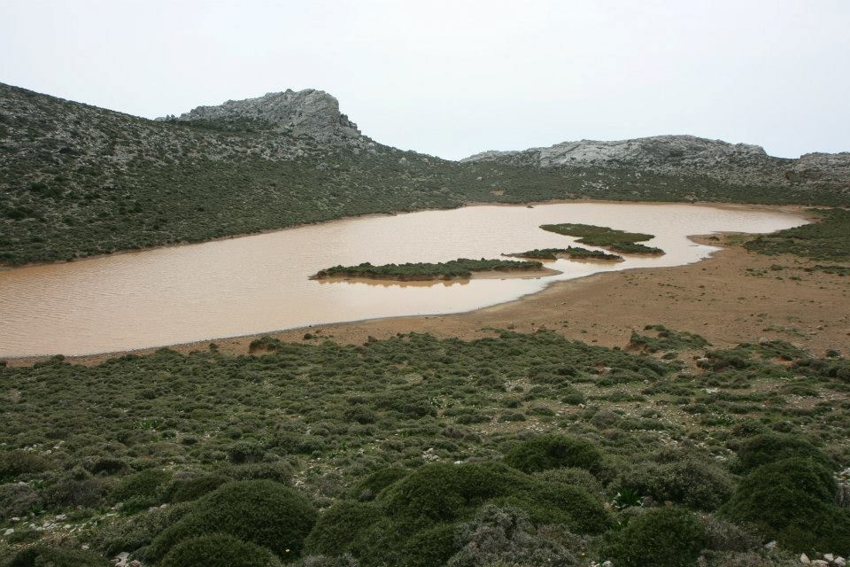
The average altitude of Asteroussia is not very high (<1250m), but access is quite tough because the terrain is very rugged, with many gorges and canyons. Asterousia main features are the warm temperatures, rare rainfalls and very low vegetation. The few trees that are struggling to grow are eaten by the hungry goats that are destroying everything. Bare mountains, sharp rocks and steep cliffs, falling in the sea, give an eerie character to the entire region making these landscapes unique in Europe.
A detailed tour of Asterousia
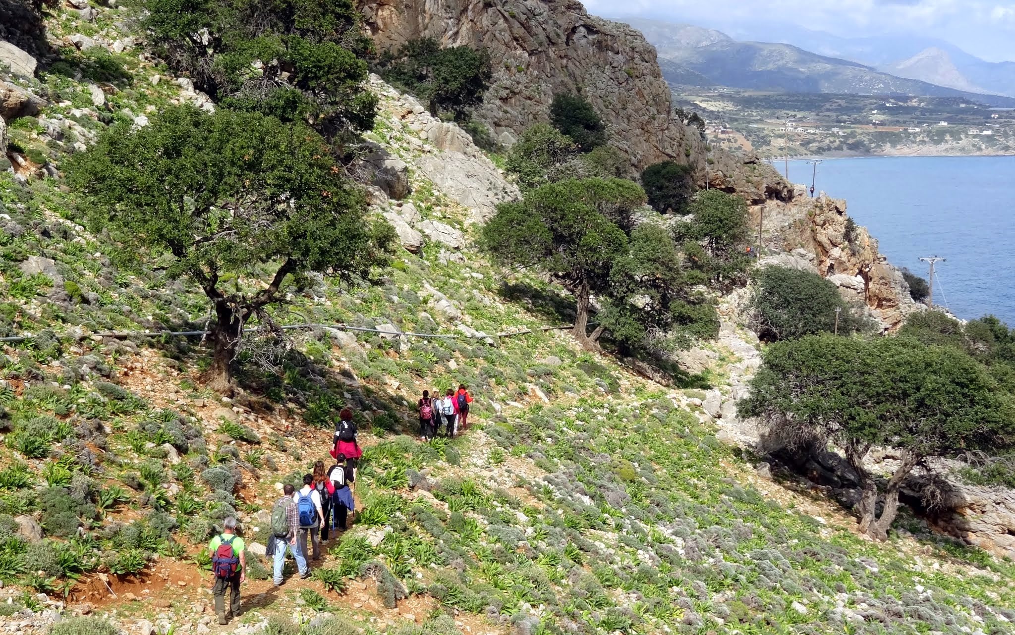
The tour of Asterousia starts from the East and heads to the West. Starting either from Tsoutsouras or Mesochori village one can visit the Monastery of Saint Nikitas, with the great beach next to it, and the small palm wood of Saint Anthony. Driving along the steep slopes of the gorge of Achentrias leads to the small oasis with plane trees in Maridaki settlement. However, as it may sound strange, walking the amazing footpath to Maridaki from Tsoutsouras takes 25’, while driving in the rough dirt road aside Achentrias Gorge takes one and a half hours! In order to head to the west from Maridaki, you should drive back to Messara plain, as there is no other way. When returning, it is worth driving through the traditional village of Ethia or end up in Pirgos.
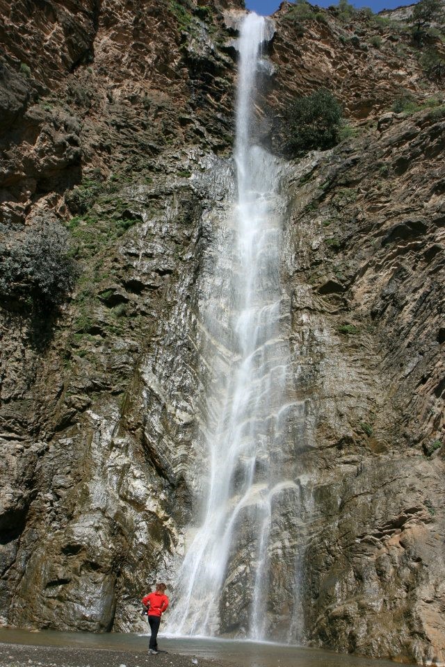
Near Pirgos starts a road to the village Paranymfi and then to the seaside village of Tris Ekklisies, where the largest natural carob wood in Crete is located. The scenery while driving in the paved track is unbelievable, with sharp cliffs and steep bare rocks ending in the sea. Near Paranymfi you should visit the spectacular waterfall of Ambas, in the beginning of the homonymous gorge. The surrounding area of the canyon is home to the largest insular colony of birds of prey in Europe.

Ambas Fall by Paranimfi in winter; Asterousia Range in winter turns into a land of waterfalls!
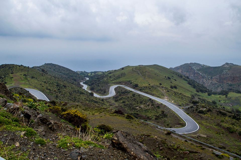
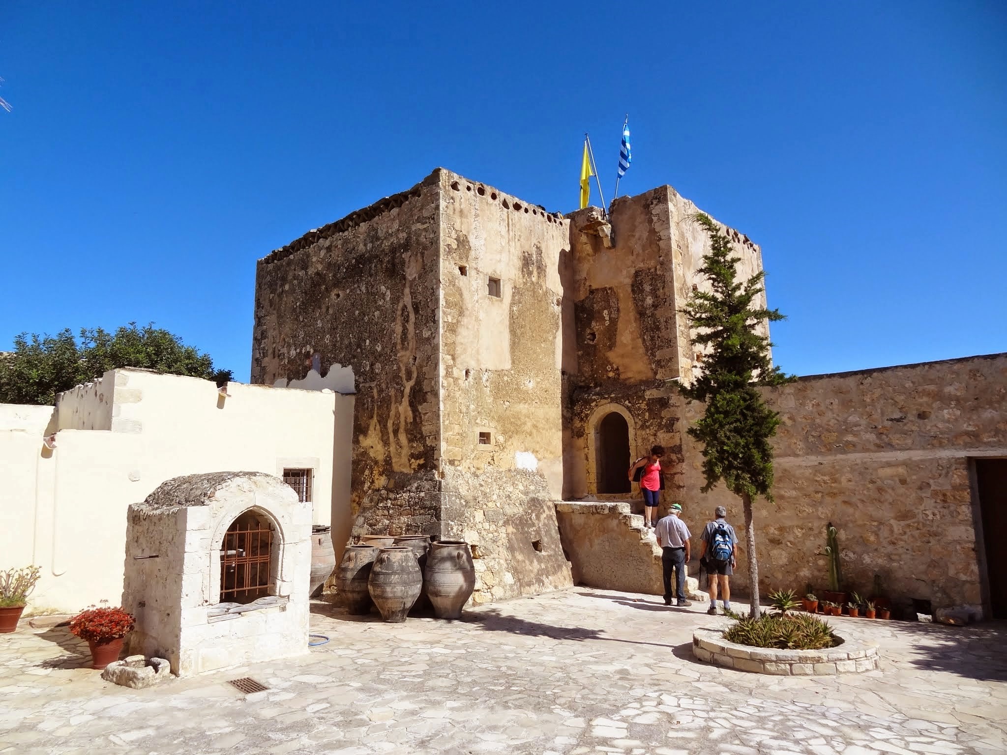
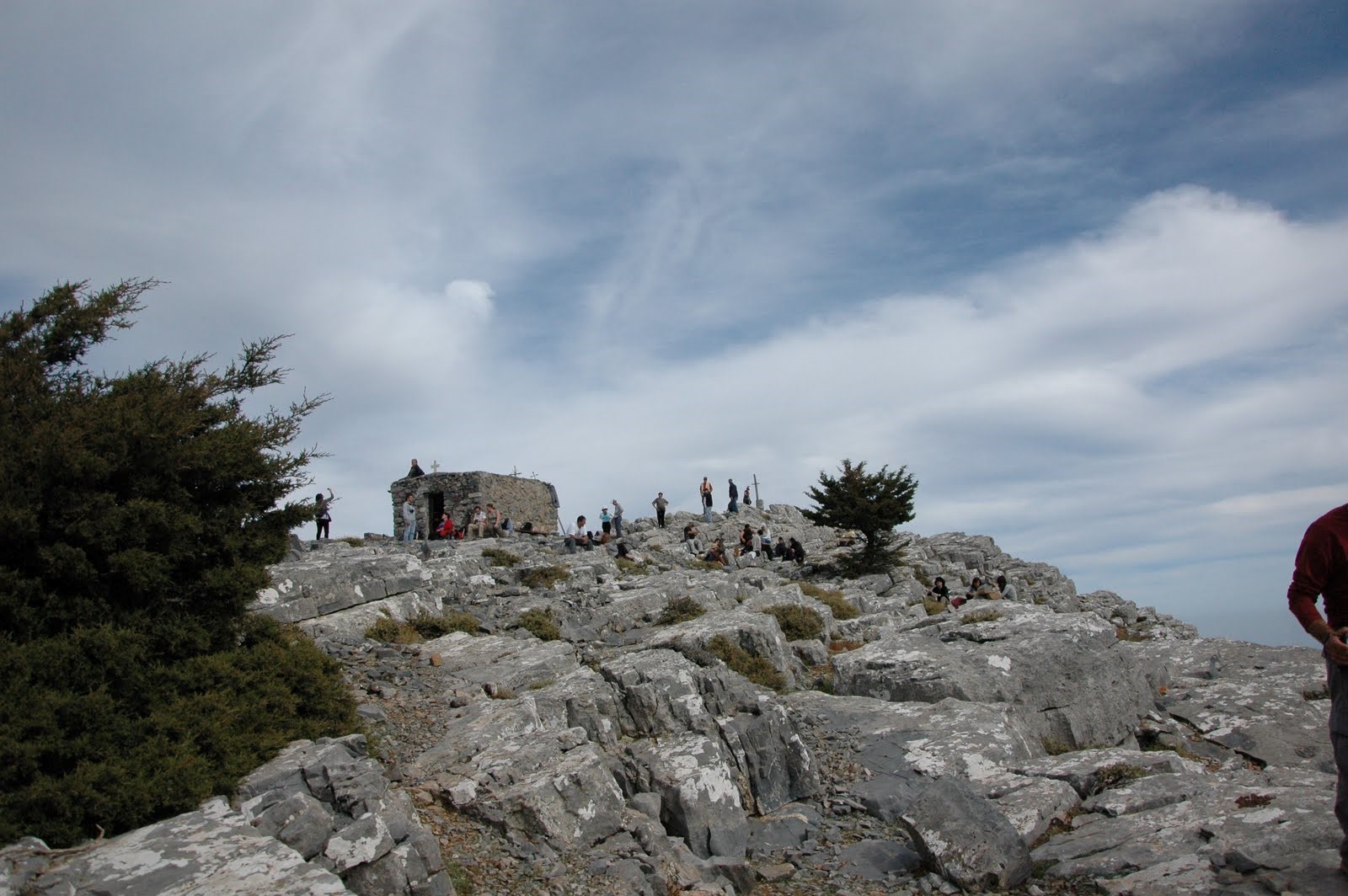
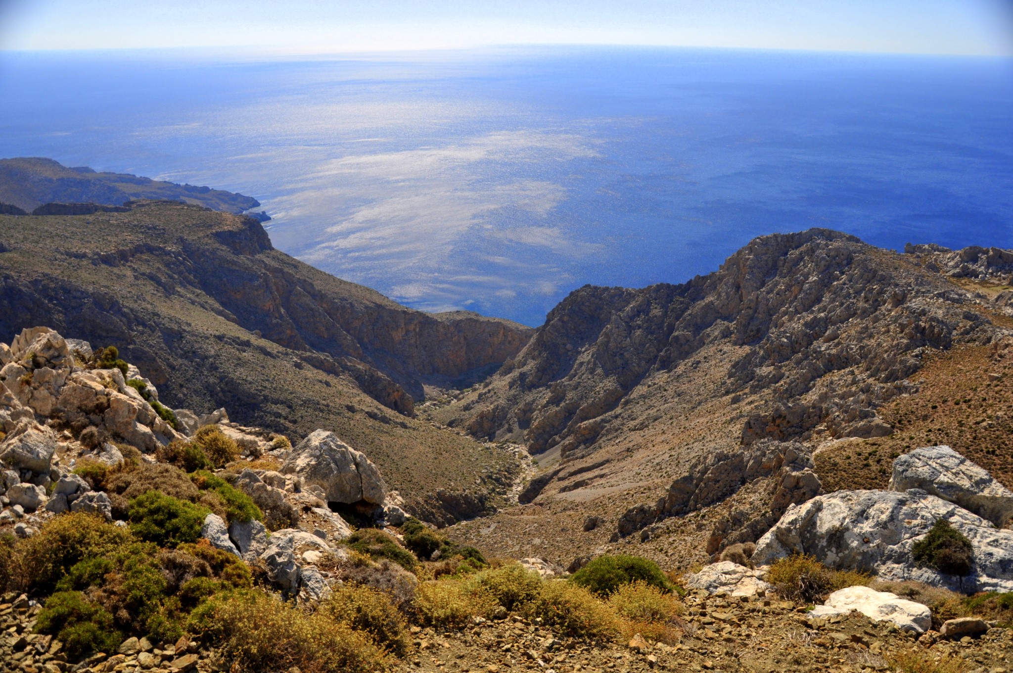
After returning to the plain of Messara, you can try driving in the most impressive track on Asterousia Mountains, the road to the monastery Koudoumas. The road runs from the village Sternes, but there is an alternative through the restored village of Kapetaniana and passes next to the highest peak of Asteroussia, Kofinas (1231m). The view from there is spectacular and climbing on the mountain is certainly worth every inconvenience. A narrow dirt road, with amazing views to the sea, descends from an altitude of 1000 meters to the sea level, passing through a scenic pine forest and the wild Koudoumas gorge. The road stops on the nice beach, next to the Monastery Koudoumas. From there you can walk westbound to the Cave of Saint Anthony and later to the settlement of Agios Ioannis. Agios Ioannis can be alternatively accessed by car only via a dirt road starting from Kapetaniana.
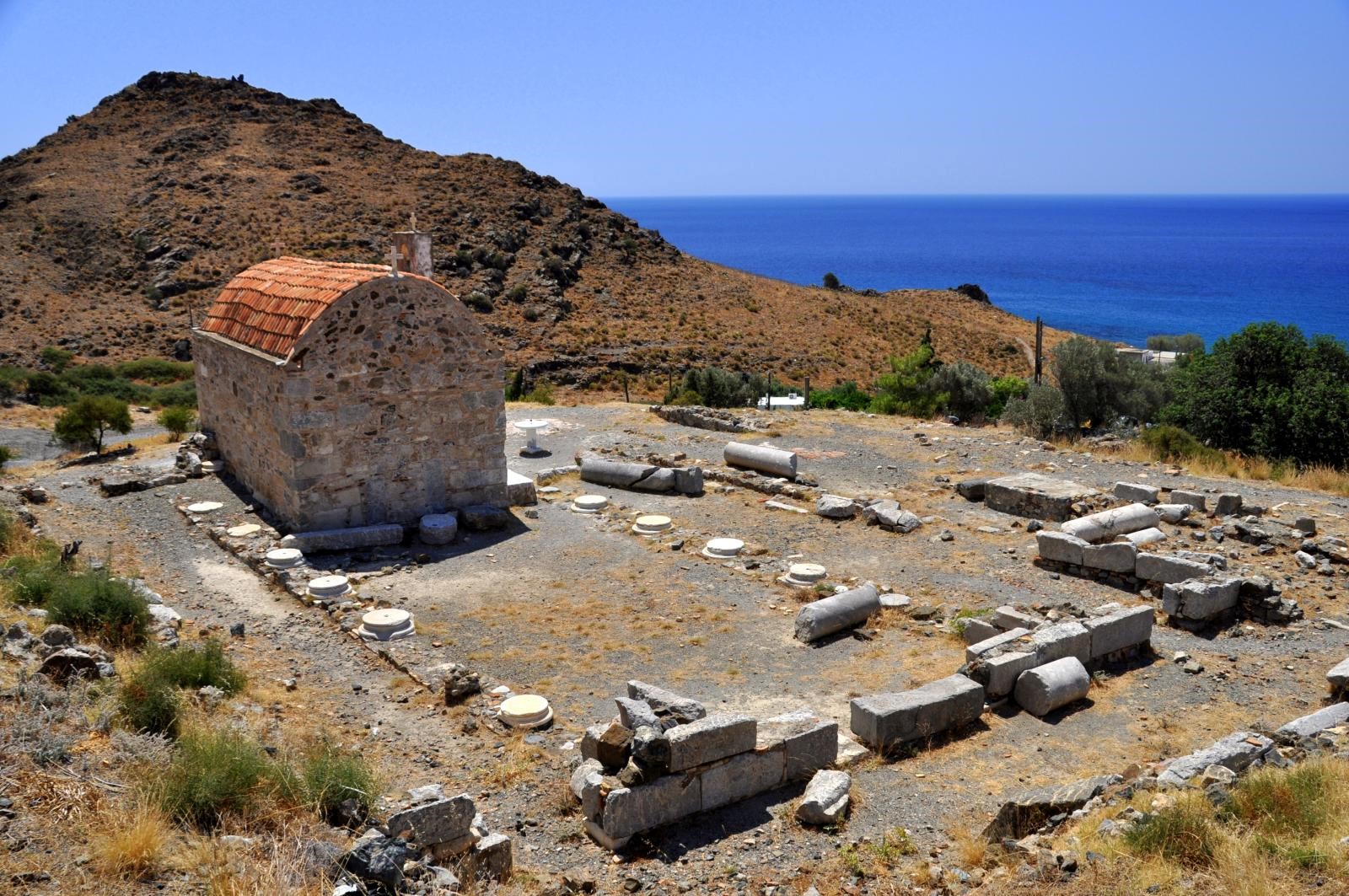
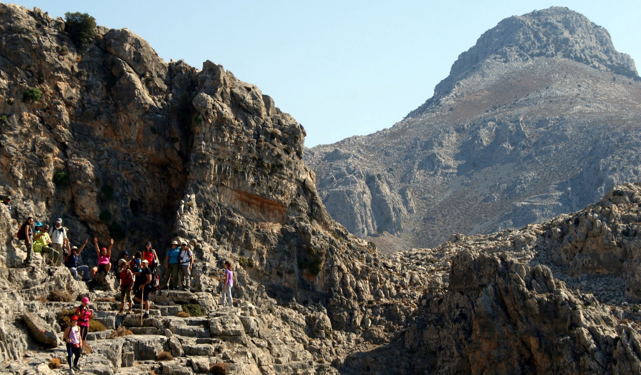
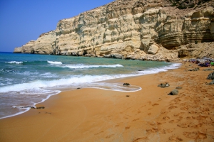
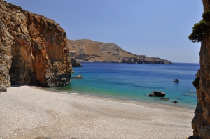
Continuing, following the road heading southwest of the village of Vassiliki will take you to the gorge of Tripiti, with the church of Panagia built in the rock. The road runs in the gorge, passes through the large olive wood of Agios Savvas, and leads through very narrow passages to the stunning beach of Tripiti. From Tripiti starts a second dirt road that continues west towards Krotos, across the wild and eerie landscape of arid Asterousia.

The imposing gorge of Tripiti to the east of Lendas
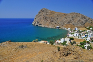
This track leads to the small resort of Lendas, which according to the tradition was the point from where Zeus arrived in Crete, in the form of a bull, carrying Europa on his back. In order to reach Lendas, named so after the large hill that looks like a lion head, you can get the asphalt roads that start from the villages Agios Kyrilos and Miamou.
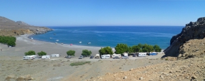
From Lendas, you can follow the partially paved road leading to the west along the beautiful shores and the small settlements. After passing Platia Peramata you will meet the beautiful beach of Chrysostomos, the site of ancient Lassea. Heading further west brings you to the vast calm beach of Kali Limenes. Opposite Kali Limenes, you will see the refineries of Vardinoyiannis family, while on the opposite hill you’ll see the little chapel of Saint PaulSaint Paul. Just next to the church there is a small cave, where according to tradition, Saint Paul lived for 2 years while traveling to Rome. Kali Limenes can also be reached via asphalted road starting from Pompia village, near Mires. Kali Limenes is actually the stopping point of the road network covering the western Asterousia. Untouched landscapes of rugged beauty where only bad dirt roads can reach (or hiking is required), deep gorges and canyons compose the scenery to the west.

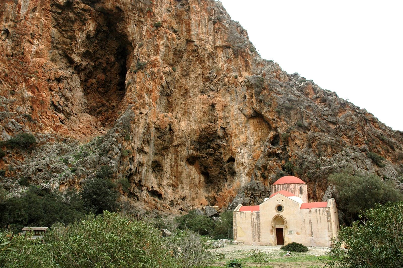
The church of Saint Anthony in gorge Agiofarago
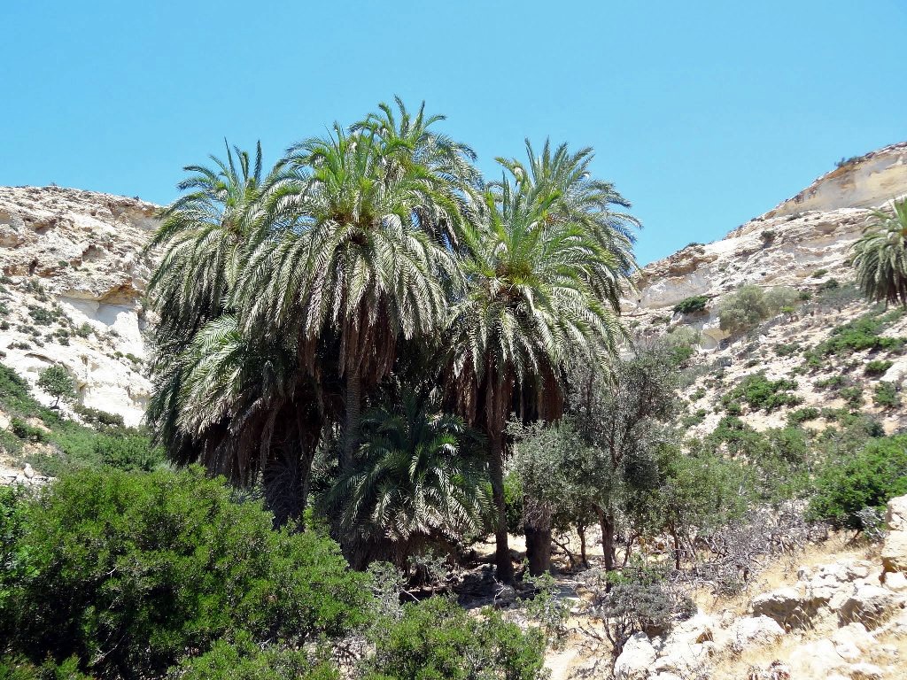
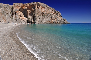
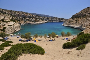
West of Kali Limenes there is a dirt road leading to the Monastery of Hodeghetria, that can be mainly reached through a paved road starting from Sivas. The monastery is one of the most historic in Crete, having played an impotant role during the Ottoman Era. It still has vast areas in its possession. The gorge Agiofarago is formed close to Hodeghetria. This is one of the most beautiful gorges of Crete, which ends on the spectacular pebbly beach Agiofarago. Hiking in the canyon is very easy and takes about 30 minutes (from the nearest car point). In the gorge there are many caverns where hermits from Hodeghetria still live. You can continue your journey west of Agiofarago, if you follow the dirt road leading to Vathy and starting from Hodeghetria. First you will find a turn to Martsalo. If you follow this road you will reach the lovely carved church of Panagia Martsaliani. From there walk in the gorge of the area and after a small palm wood you will end up in the small beach of Martsalo. This gorge has also been a center for asceticism before.
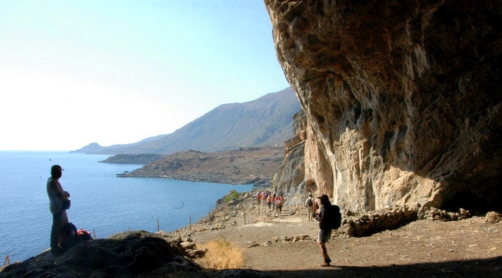
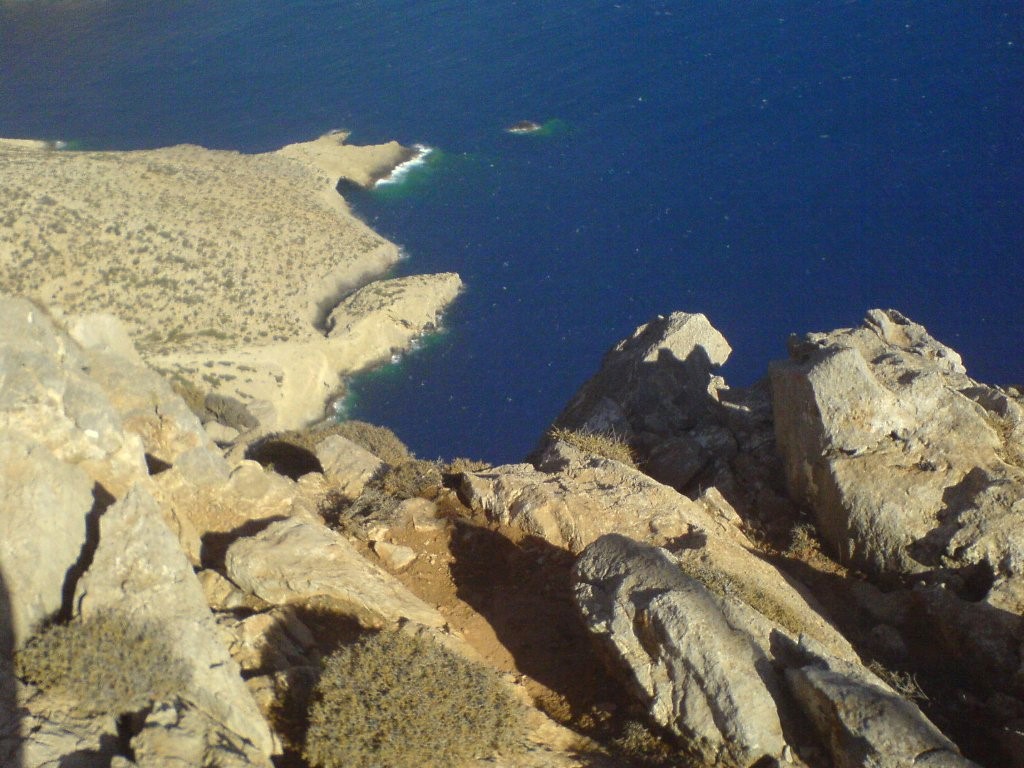
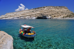
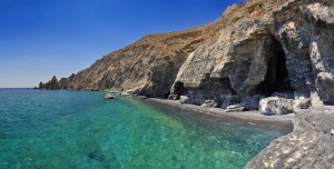
From the last junction, you can follow the other road to Kefali or Vathy. It is worth driving to Kefali, one of the most amazing parts of Crete, located next to Cape Lithino, the tip of Messara. Driving in a fairly rough dirt road will take you in a small plateau with German pillboxes on the edge of which vertical cliffs, 400m high, fall abruptly into the sea. Standing on the edge can cause dizziness and will surely leave you breathless. Go back again and drive north to Vathy beach, a beautiful closed cove, looking like a lake. The walls of the local gorge are made of limestone and, thus, have been eroded by water and time. The road from Hodeghetria, ends here, and so does our guide along these amazing mountains. The last beach of west Asterousia to the west is the famous Matala and the hard to reach Red Beach next to it.
What to see on the Asterousia Range:
")


.jpg)


 Beaches
 Nature
 Past
Past Destinations
 Highlights
 West Crete


