Paleochora is a small town located 77 km south of Chania, at the southwest coastline of Crete and it’s built on a small peninsula of 400m width and 700m length. The town is set along 11 km of coastline bordering the South Cretan Sea. Paleochora is built on the ruins of the ancient city of Kalamydi. It was the capital town of the municipality of Pelekanos and its population was 2213 in the 2001 census. Paleochora's economy is based on tourism and agriculture (mainly tomatoes cultivated in glass houses and also olive oil). It is a relaxing holiday destination since the early 1970s when it was popular with hippies. Paleochora is currently one of the fastest-growing tourist towns on Crete.
Paleochora's wider area has crystal clear waters, well-organized beaches, and beautiful isolated small anchorages. It is served by numerous hotels, restaurants, tavernas, cafés, bars, and nightclubs. Facilities in Paleochora include bank branches, a post office, a central telephone office, a health center, doctor's offices, dentists, chemists, a police station, a coast guard and customs office, and many types of stores. Ferry boats connecting the town with Sougia, Agia Roumeli, Loutro, Chora Sfakion, and Gavdos dock in the local harbor.
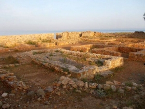
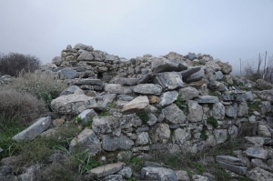
In 1278, the Venetian general Marino Gradenigo built a fort in the Palechora area, called the "Castel Selino". The fort gave its name to the whole province, previously called "Orina", which was then renamed "Selino". The fort was destroyed in 1332 and was rebuilt in 1334. Near the fort, the Venetians established a new settlement for workers and merchants called Vourgos (burg). The pirate Hayreddin Barbarossa destroyed the fort in 1539, but later in 1595, Dolf revamped it. In 1645, the Turks conquered the town and modified the fort to suit their needs. In 1834 an English traveler named Robert Pashley found the fort completely destroyed and the whole area without any inhabitants and with only a granary and one or two small buildings left. In 1866 the recolonization of Paleochora began. During the Battle of Crete during World War II, the town was the scene of fighting between motorcycle-riding troops of the German 95th Reconnaissance Battalion and the Eighth Greek Regiment (Provisional) with elements of the Cretan Gendarmerie. The general phase of urbanization that started in other parts of Greece in the 1960s, took place in the 1950s on the nearby island of Gavdos. During that period the islanders exchanged their land on Gavdos for ex-Turkish land on Crete, which had now become exchangeable through a state program. They created a community known as "Gavdiotika", in the 'old town' section of Paleochora.
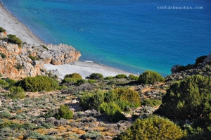
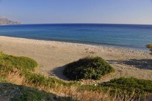
The beach of Krios is located about 10km west of Paleochora and 90km south of Chania, on the east side of Krios Cape. It is a lovely secluded beach with a length of about 1km, which is divided into three consecutive bays with fine pebbles and coarse sand.
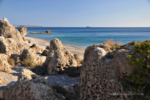
The Coves of Paleochora are consecutive small bays that start 1.5 km west of Paleochora (80km south of Chania) and extend 2.5 km to the west, till Cape Grammenos. The beaches are a complex of adjacent coves with crystal clear waters and spectacular pebbles. The main road, connecting Paleochora and Koundoura, runs along the coves. For this reason, they are not preferred by nudists.
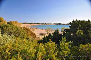
The peninsula of Grammeno(s) is located 85km south of Chania and 5km east of Paleochora, on the road connecting Paleochora with Koudoura. Koudoura is a warm area with greenhouses, where most citizens of the area work.
The fortresses built by the Venetians along the south shores of Crete were very few, perhaps because of the lack of ports and bays. One of them, however, was the fort of Selino (in the site of modern Paleochora). This fortress was built around the neck of a protrusion of land into the sea, so as to support the domination of the Venetians in the area, which was inhabited by many rebels.
Elyros was the most important town in southwestern Crete during the Doric and Roman Periods. Ruins are conserved 500m far from the village Rodovani atop the panoramic hill Kefala. The town had two harbors: Syia(current Sougia) and Lissos. The exact location of the town was verified by an inscription with the phrase in Greek "Glory to the people of Elyros".
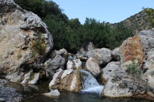
At a forgotten area of the region Selino in South Chania, you will meet the well hidden gorge of Pelekaniotis River. It is the river with the most water flow in Selino and it is so important that the whole municipality of Paleochora is named Pelekanos. It has water all year round and forms a lush green valley at its exit, at Maherota location.
Keratides is located about 1km west of Paleochora harbor, 79km south of Chania city, just after the exit of Azogirianos river and the beach Halikia. It has coarse pebbles and stones and is preferred by those who seek peace and avoid crowds.
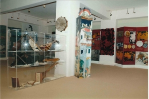
The museum of Acritans of Europe is housed in the center of Paleochora town, in the old boarding house. It was established on July 2006 and funded by the program "Culture 2000».