For millions of years, the geological upheavals are reflected strongly in the intense relief of Crete. While mountains rose, the river water continued its corrosional route through the limestone terrain, forming today's "land of gorges", Crete. With more than 400 canyons, Crete hosts the largest number of gorges in Greece. Many travel agencies offer packages for gorge trekking and there is are several hiking and mountaineering clubs based in Heraklion, Chania, Rethymnon, Agios Nikolaos, Sitia, Ierapetra and Mires.
Cretan rivers meet large faults and steep descents during their course through the canyons, forming hundreds of small and high waterfalls. Crossing gorges of Crete with high waterfalls is possible only by using technical equipment. Appropriate training in canyoneering techniques can be offered by specialist companies on the island. The most popular technical canyons of Crete include the imposing gorge Ha, Tsoutsouras, Kalami, the gorge of Arvi (which after an 80m high fall turns into a dark underground river) and many more.
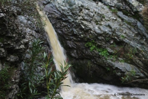
Approximately two kilometers northwest of the village Karines at position Faragi there is a small but impressive gorge, Kariniotiko Gorge. Kariniotiko canyon is completely unknown as the entire surrounding area is not included in the tourist routes. However, the surrounding area has exceptional natural beauty and hosts one of the most impressive oak wood of Crete with huge ancient trees.
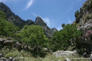
Its exit is located in the village Nomikiana, Sfakia province. In Chionistra there are two different streams in calcareous soils which after one hour walking each merge to form the gorge of Kapni. The canyon is quite long and walking in it takes about 4 hours. It is one of the difficult and dangerous gorges of Crete with craggy riverbed which in some places creates dry waterfalls and requires climbing.
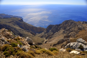
A very wild gorge starting from the valley of Pervola, next to Mournia village at Asterousia Mounts, and ending on the remote amazing beach of Kaminaki. There is a trail, quite steep, starting from Pervola.
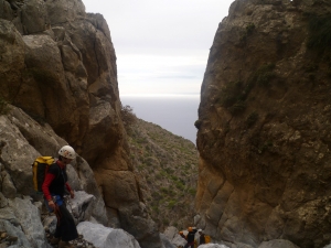
The gorge of Valahas is formed south of Heraklion and the beach Elygia is formed at its exit. The highest rapel is 50m high and 4 hours are required for its crossing (only with canyoning equipment). The lower part of the gorge is covered by pine trees.
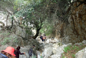
Kollita Gorges, i.e. Twin Ravines are located nearby the picturesque village Argyroupolis, about 22km southwest of Rethymnon city. They are named so, as they consist of two parallel canyons that end near Kato Poros settlement. Here we refer to the easternmost gorge of Moundros.
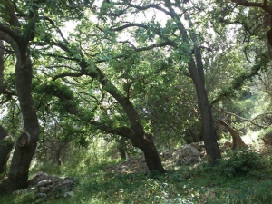
The Gorge of Katsouna, near Vrysses, is believed to be the Xenia Street of Herodotus, according to who the guests of ancient Pergamos arrived through here in order to not have visual contact with the forts of the town. The length of the gorge is about one kilometer and starts from Vrysses to reach the entrance of the ancient city.
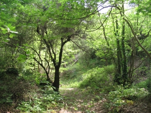
Vavouledo canyon starts about 1km east of the village Hamalevri. A trail runs along the gorge. Near the village Lidiana, the canyon joins the Gorge of Trahinos and the merged river runs till the "cosmopolitan" neighborhood of the Palea Roumata, Arhontika, where you can eat at the taverns.
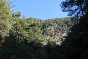
The canyon of Prasses or Askidia is located in a wooded area of the White Mountains. Its exit is located near the village Askidia (altitude 480m), which is a part of the village Prasses, hence the two names. To find the starting point of the canyon you have to drive on the road that heads from Chania to Sougia and turn at the intersection of Petras Seli leading to Omalos Plateau.


