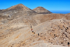
Mountain Desert is probably the most beautiful and the most mysterious landscape that one can encounter in Greece, a unique phenomenon in the Northern Hemisphere. The Mountain Desert is the area above 2000m altitude in the heart of the White Mountains, where dozens of cone-like peaks called Soros (Piles) are found. The highest peak is Pachnes (2453m).
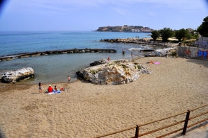
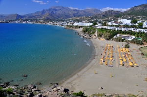
Koumbes is located 2km west of the center of Rethymnon and is actually the only beach in the west part of the city. It has wonderful views to the imposing fortress of Fortezza, which is located a few hundred meters on the east. It is named after the Turkish word Kubbe that means “dome”.
In front of the cove lies a beautiful beach with coarse sand and vivid blue water. The beach is slightly developed with some umbrellas, water sports and some rooms, mini markets and taverns closeby. There are many tamarisk trees around offering shade to the visitors and the sea is almost always flat. The area is ideal for peaceful holidays and for families.
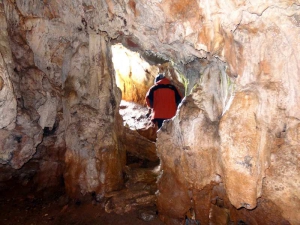
The cave Trapeza, also known as Kronion Cave, is located between the village Marmaketo and Tzermiado, in Lassithi Plateau, at an altitude of 860m. It’s located near the secondary road that connects Marmaketo with Tzermiado School. There are signs leading to the cave both in Tzermiado and Marmaketo. A path with steps, hidden in trees, leads to the cave after ascending for 5'. The entrance to the cave is quite indiscernible and the view to Lassithi plateau from there is magnificent.
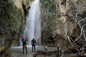
Nearby the lush green and full of water springs Orino village we meet one of the most steep rivers of Crete. Its springs are located high on the plateau Abelia on the slopes of Thripti and Papouri mounts. They shortly form a river which crosses the village square and enters the rugged canyon of Orino.
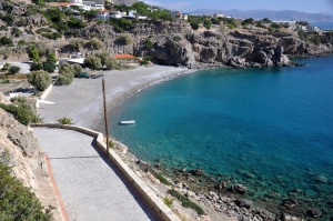
Lagoufa is located right after the east end of Makrigialos main beach, around 59km southeast of Agios Nikolaos and 24km east of Ierapetra. It consists of two adjacent protected coves, which are formed near the big hotels of Makrigialos.
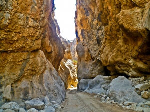
The gorge of Trypiti is formed at the range Asterousia, to the south of the village Vassiliki. The length of the canyon reaches 4 km and a beautiful pebble beach is formed at its exit. The beach is reached though a dirt road that runs high along the eastern side of the canyon for several kilometers before reaching its riverbed, just before the exit to the sea.
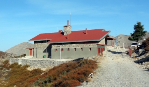
The shelter Kallergis is located at an altitude of 1680m, 5km (1:30 hour walk along a dirt road) east of the Plateau Omalos and is the most popular shelter of Crete. It is built on a amazing site with breathtaking views of the surrounding peaks and the seas of both North and South Crete. The place is very important because from here one can continue climbing to the peaks Psari, Mavri and Melidaou or to cross the White Mountains by walking to the other shelter at Svourichti.


