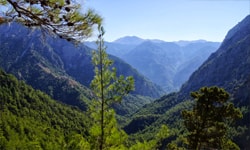
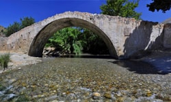
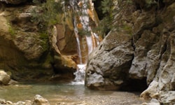
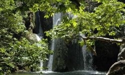
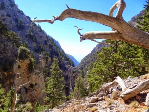
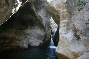
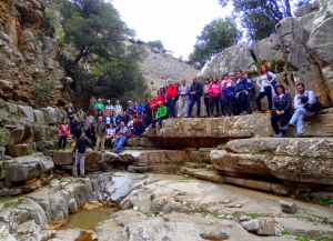
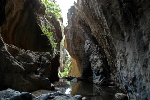
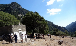
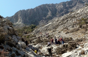
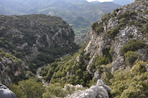
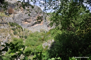
The gorge of Eligia is wild, long and impressive. The trail to reach the gorge's bed starts in Agios Ioannis village in Sfakia (780m altitude, 92km from Chania). After hiking for 3.5 hours in the gorge ou reach Agios Pavlos beach, which is full of pine trees, and then you need 1 more hour to the west to reach Agia Roumeli.
Gorge Smiliano or Kalamafka is located north of the village Ano Meros, about 100km southwest of Heraklion city. Through the gorge runs the Lygiotis river which is supplied by the valleys of Gerakari and the slopes of Samitos Mount. The canyon has a lot of water in winter and crossing it, by any means, is very tough.
The canyon of Zoniana is located south of Zoniana village. Starting at an altitude of 950m, it ends at the village at an altitude of 650m. Through the gorge runs the "serpentine" Oaxis river that has water till spring. The gorge is easily accessible and safe for hiking, as its slope is small.
The unknown canyon of Venerato is located 17km south of Heraklion, just next to the village Venerato and Paliani Monastery. The deep part of the gorge is very short in length (about 500m), but its beauty does not leave the visitor unaffected, although it is badly infected by human activities.
The proposed trekking route in the canyon starts from Niato Plateau (near Askifou Plateau) and runs along the European trail E4. You initially meet the abandoned village of Kali Lakki. From here starts the canyon, which is one of the greenest gorges in Crete, with incredibly interesting flora. Oaks, cypresses, and pines are the main trees in Sfakiano Gorge.
East of Voriza village, at the foot of Psiloritis, starts an arid canyon with holly trees that leads to the plateau of Nida Plateau and the cave Ideon Antron. The gorge is very steep at the beginning with small waterfalls coming from the brecciated steep limestone cliffs.
1.5km east of Spili, next to the main road connecting Spili to Agia Galini, you will meet the chapel of Agia Fotini, also known as Agia Fotia. Next to the road, you will find the springs of Agia Fotia, an old mill and a quite high waterfall (in winter).


