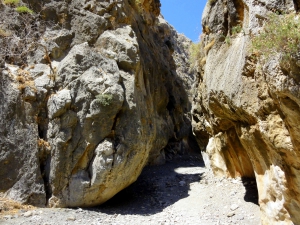
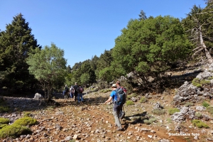
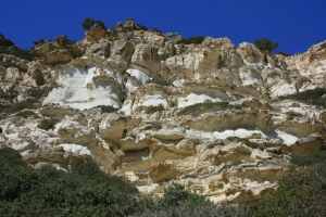
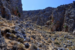
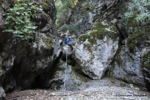
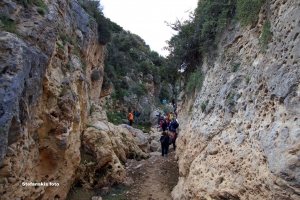
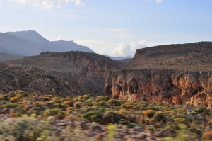
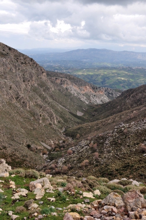
This is a short canyon, easily accessed that leads to the beach of Psili Ammos. The gorge has water till early spring, while it is actually a part of a longer gorge.
The canyon Kavis is one of the longest and wildest of Sfakia area and despite located next to Chora Sfakion, it remains unknown to many people who usually just enjoy swimming at Iligas. The riverbed is dry almost always, except after several hours of rain. Apart from the main stream, in Kavis fall other 5 sub-gorges, extremely wild.
Agii Pantes Gorge is located next to Skopi of Sitia province, near Faneromeni Monastery, and is one of the easiest places to walk in Crete. The very well signed trail runs along the riverbed of the gorge, below the shade of hundreds platan trees. There are two fresh water springs in the canyon, one is called Koutsounari and the other one, located inside a cave, is called Hosto Nero. The exit of the gorge is the beach of Agii Pantes (by Platani beach). The area floods in winter turns to an important wetland. Near its exit, you will admire the white limestock formations, reminding of huge pleurotus mushrooms.
A very short gorge with the small wonderful beach of Agriomandra formed at its exit. To find that you should follow the dirt road that crosses the green meadows west of Kavoussi, known as Lakos Ambelion position, till the entrance to the gorge.
Between the villages Zourva and Meskla we meet one unknown canyon, one of the many of the region, which is called Lagos. Its entrance is located west of the village Zourva and ends in the village Meskla, at the bridge of the village, just before merging with the river Keritis.
The Gorge of Agia Anastasia starts from Kenourgio Horio, Province Pediada (altitude 160m) and ending at the seaside settlement of Gournes. The name is taken after the cavernous chapel of St. Anastasia, located near its entrance. The vegetation is restricted to oleanders and the walls get narrow in several points. The descent of the gorge takes about three hours.
Gorge Katsounaki is located in the dry Eastern Crete, east of Xirokambos settlement. The river passing through the gorge leads to the beach of Xerokampos River, next to the beautiful sand beach of Alona. Hiking in the canyon is easy and the landscape with tall walls is very wild. You can walk upside down from Alona.


