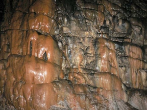
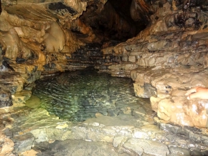
Tzanis Cave or Katavothra or Chonos, is located in Omalos Plateau in Chania. It reaches a length of 2500m and a depth of 280m. The cave has raised the interest of foreign tourists since 1865. Since 1961 caver groups of different nationalities explore the cave. Tzanis is accessible, but is not organized for tourists.
Tripiti is the second large gorge parallel to Samaria gorge and, like Klados, the trail heading to its entrance also starts at Linosseli spring. In order to approach its entrance there is a dangerous passage where you risk getting stuck, so that you can neither walk on nor turn around and go back. Therefore, you should never attempt to cross this place it without the escort of an experienced hiker.
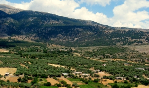
The Plateau of Anopolis is located in the area of Sfakia and more specifically 13km west of Hora Sfakion. It is a small plateau formed in the wild mountains of Sfakia, the most inaccessible province of Europe.
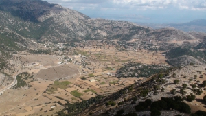
The Plateau of Askifou is located 50km south of Chania, in one of the nicest and most authentic areas of Crete. The wild mountains around and the serenity of the valley, form a magnificent landscape all year round.
Gorge Klados is one of the most dangerous and inaccessible gorges of Crete. The top (starting point) of the canyon is located at position Kokkinovari in a steep slope, 90-100 meters high. The very loose and steep terrain makes access impossible even with technical equipment.
The gorge of Eligia is wild, long and impressive. The trail to reach the gorge's bed starts in Agios Ioannis village in Sfakia (780m altitude, 92km from Chania). After hiking for 3.5 hours in the gorge ou reach Agios Pavlos beach, which is full of pine trees, and then you need 1 more hour to the west to reach Agia Roumeli.
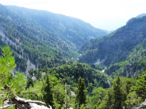
The proposed trekking route in the canyon starts from Niato Plateau (near Askifou Plateau) and runs along the European trail E4. You initially meet the abandoned village of Kali Lakki. From here starts the canyon, which is one of the greenest gorges in Crete, with incredibly interesting flora. Oaks, cypresses, and pines are the main trees in Sfakiano Gorge.
The cave Drakolaki is a long underground river located on the southern slopes of Peak Thodoris at White Mountains, at the upper part of the canyon Aradena. It is actually the starting point of one of the basic ravines that merge and form Aradena Gorge.


