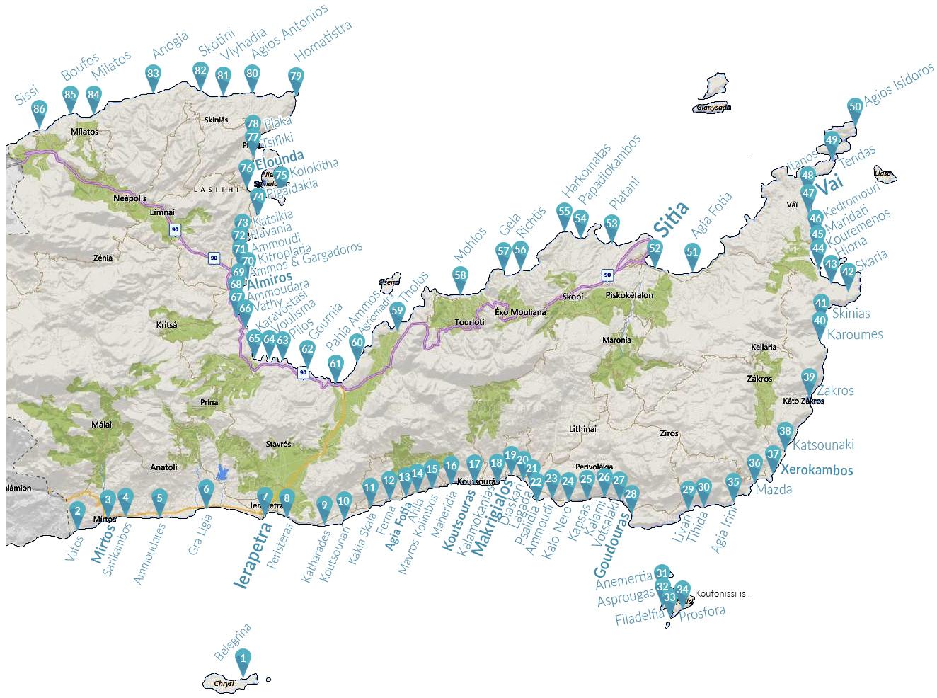
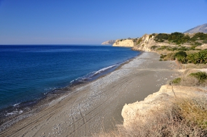
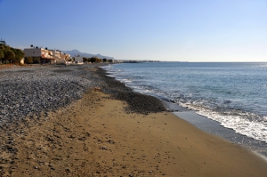
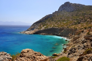
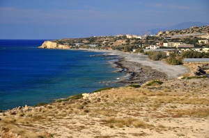
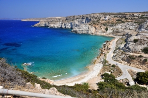
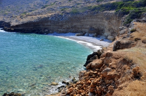
Ammoudares is located 8km west of Ierapetra and 45km south of Agios Nikolaos. It close to the settlement of Nea Anatoli and Stomio, which all share actually the same beachfront. Ammoudares beachfront consists of sequential long beaches with coarse gray sand. All beaches are unorganized and secluded. They are not popular, mainly because the area is surrounded by thousands of greenhouses. The locals avoid swimming in the area due to pesticides and drugs, but still the water is clean.
Gra Ligia is a seaside village located just 5km west of Ierapetra and 39km south of Agios Nikolaos. It is situated at the exit of a large fertile valley, which is full with greenhouses with early vegetables. Locals were the first to grow vegetables in greenhouses and this was later extended throughout the area of Ierapetra. There are so many greenhouses, that locals call Gra Ligia as “Silicon Valley of Greece”.
The bay of Chomatistra is located 24km north of Agios Nikolaos and 9km north of Plaka, near the village Vrouchas and the Cape of Agios Ioannis - Aforesmenos. The wild landscape of the area is characterized by bare mountains, steep cliffs and strong winds.
Shortly after the suburb Peristeras of Ierapetra starts the area of Katharades. This is a series of small beaches just before the famous shores of the village Koutsounari. This is a rugged place with strong winds, ranked among the 2-3 places with strongest wind blasts on Crete.
Along the peninsula Kavo Sidero (starting from Analoukas), there are several small secluded beaches. One of them is Mavros Kavos (or Hohlakia) which is accessed by dirt road. It is generally wavy and you will almost be alone.
Platani is located 7km west of Sitia and 60km east of Agios Nikolaos. To get to this point you should follow the road leading to Faneromeni Monastery, starting at the village Skopi. 2km after Skopi, just before the monastery, two neighboring small pebbly beaches are shaped with crystal clear waters. The first, known as Agii Pantes is formed at the exit of the lush Agii Pantes gorge, that is easily accessed via a hiking trail.
Agios Antonios (Saint Anthony) is located 30km northwest of Agios Nikolaos, in the well hidden and unexplored northern shores of Mirabello area, 3km north of the village Selles. The area has several small beaches where you can go by driving north from the village Selles mainly in a passable dirt road. In the region you will not find anything else, but some cottages and farms.
Agia Fotia is located 7km east of Sitia and 76km east of Agios Nikolaos, on the road to Vai. It takes its name after the church of Agia Fotini. In front of the village of the region stretches a long beach with rocks and sand that has attracted several hotels recently. The secluded beaches of Agia Fotia is prone to north winds and you’ll rarely find it peaceful.


